This was a time of Empire, which naturally influenced the nature of Geography, both in the UK, but also in those countries which Britain administrated. The lecture was later published in 'The Geographical Teacher' but introduced the idea that Geography involves... "a special mode and habit of thought... a special kind of visualisation" which he referred to as "thinking geographically" (a phrase we still use today - the idea of 'thinking like a geographer'. Although Mackinder would have thought like an Imperialist too.
During his Presidency, Mackinder set the Association back on a stronger footing, following the previous Presidency of Hilaire Belloc's, and this despite the fact that the First World War was now in its second year (it had not been 'all over by Christmas', and many more men had signed up to fight in the trenches.
He referred to Belloc's time as President in his address the following year as being undertaken
"very brilliantly, but perhaps with a little of the waywardness of the literary artist... I am not sure that we all feel that he wholly carried out his purpose."
It will be interesting to see if more recent Presidents have a habit of talking about their predecessors in quite the same way. (Perhaps not in public anyway...)
In 1914, following
Keltie's Presidential Address, Mackinder also talked about some of his early geographical memories. This can be read using the references in the blog post on Keltie's time as President.
During the time that Mackinder worked with the GA, he had his 'lieutenant' to support him: A. J. Herbertson, who had a great influence on the GA. I have blogged previously about Herbertson's work, and the gratitude that Mackinder had for his work for the Association. One of the things he did was to reflect on the contributions made by
Andrew John Herbertson, in a long and emotional tribute to one of the founders of the GA, who died in July 1915, and who has his own entry in this blog, despite never having been President.
His own
Presidential Address doesn't have a stated title and was fairly brief and unfocussed. He does start it by giving a perfectly reasonable excuse though:
"My good intentions were to have a printed text of what I am going to say to put before you. But this is a time of war, and an important Treasury Committee has, of late, occupied my time". I won't have that same excuse I'm sure. It was delivered at University College, on Gower Street in London on the 6th of January 1916. He suggested that
"I think we may say that in this war the geographer has come into his own."
This was in reference to the need for the general public to follow the events taking place in the war, and realising the value of maps to understand what was happening in locations around the globe, and where they were in relation to the UK.
In 1919, Mackinder published a book which was very influential in
geopolitics and introduced some key ideas that were adopted by many geography teachers and academics. The book,
Democratic Ideals and Reality explored some global risks for the future.
He was knighted in 1919, as reported in the GA's Annual Report of that year.
This New Statesman article from a year ago, outlines the prescience of Mackinder in recognising some possible future threats to the stability of the world order, and describes him as the
"father of geopolitics". He would have got on well with Tim Marshall no doubt with his views on how the world developed.
Halford Mackinder's name is commemorated in a
Professorship chair at Oxford University: a position held, at the time of writing, by the most excellent Professor
Danny Dorling. There is also a lecture theatre named after him at the University.
This sounds like another place I need to try to get to visit during my Presidential year of visiting places associated with the GA.
Mackinder was influential in his teaching, and many other GA Presidents owe him a debt of gratitude for the work that he did during the early decades of the Association, and for setting out some of the expectations of the role, and a benchmark for how it might be performed.
Mackinder's Presidential year ended with the GA in a stronger position than when he took it on, but the First World War was still raging, and there were some fresh challenges ahead for the GA, as we shall explore in future posts.
Update
He also had a remarkably long lasting career in Geography, and was active in the GA even through into the 1940s.
He presented at the GA Conference in 1943, where he said:
Has not the time come when we should base at least the secondary stage of our teaching on a
global outlook? Is not the entire planetary surface now, for many purposes, the only 'natural'
region, but with the advantage that, being a closed area, it admits of the accurate comparison of
many orders of pattern?
He was Chair of Council until 1946. The IBG itself was founded in 1933, and eventually joined with the RGS.
He published a great many books - a partial list is shown here:
Books and Publications - taken from Wikipedia
Mackinder, H.J.
"On the Scope and Methods of Geography", Proceedings of the Royal Geographical Society and Monthly Record of Geography, New Monthly Series, Vol. 9, No. 3 (Mar. 1887), pp. 141–174.
Mackinder, H.J. Sadler, M.E.
University extension: has it a future?, London, Frowde, 1890.
Mackinder, H.J.
"The Physical Basis of Political Geography", Scottish Geographical Magazine Vol 6, No 2, 1890, pp. 78-84.
Mackinder, H.J.
"A Journey to the Summit of Mount Kenya, British East Africa",
The Geographical Journal, Vol. 15, No. 5 (May 1900), pp. 453–476.
Mackinder, H.J.
Britain and the British Seas. New York: D. Appleton and company, 1902.
Mackinder, H.J. "An Expedition to Possil, an Outpost on the Frontiers of the Civilised World", The Times. 12 October 1903.
Mackinder, H.J.
"The geographical pivot of history". The Geographical Journal, 1904, 23, pp. 421–37. Available online as Mackinder, H.J. "The Geographical Pivot of History", in
Democratic Ideals and Reality, Washington, DC: National Defence University Press, 1996, pp. 175–194.
Mackinder, H.J.
"Man-Power as a Measure of National and Imperial Strength", National and English Review, XLV, 1905.
Mackinder, H.J. "Geography and History", The Times. 9 February 1905.
Mackinder, H.J. as editor of The Regions of the World series which includes the 1902 Britain and the British Seas mentioned above—which included
The Nearer East by
D.G. Hogarth London, Henry Frowde, 1902 and 1905
Mackinder, H.J.
Our Own Islands: An Elementary Study in Geography, London: G. Philips, 1907
Mackinder, H.J.
The Rhine: Its Valley & History. New York: Dodd, Mead. 1908.
Mackinder, H.J.
Eight Lectures on India. London : Waterlow, 1910.
Mackinder, H.J.
The Modern British State: An Introduction to the Study of Civics. London: G. Philip, 1914.
Mackinder, H.J.
Democratic Ideals and Reality: A Study in the Politics of Reconstruction. New York: Holt, 1919.
Mackinder, H.J. 1943. "The round world and the winning of the peace", Foreign Affairs, 21 (1943) 595–605. Available online as Mackinder, H.J. "The round world and the winning of the peace", in
Democratic Ideals and Reality, Washington, DC: National Defence University Press, 1996, pp. 195–205.
Taken from Wikipedia.
Looking at a few sources it's clear that Mackinder's works are still valuable as they command high second hand prices.
References
https://en.wikipedia.org/wiki/Halford_Mackinder
Source of image at the top of the entry
https://www.britannica.com/biography/Halford-Mackinder
Edited to include Mackinder's GA Presidency, as I have with all the Presidents' Wikipedia entries during this project.
Appreciation of A.J. Herberton:
Mackinder, H. J., et al. “ANDREW JOHN HERBERTSON.” The Geographical Teacher, vol. 8, no. 3, 1915, pp. 143–146. JSTOR, www.jstor.org/stable/40555835.
Image credit: Royal Geographical Society / Geographical Association
Presidential Address: KELTIE, J. SCOTT. “THIRTY YEARS' PROGRESS IN GEOGRAPHICAL EDUCATION.” The Geographical Teacher, vol. 7, no. 4, 1914, pp. 215–227. JSTOR, www.jstor.org/stable/40555979.
New Statesman: https://www.newstatesman.com/halford-mackinder-father-geopolitics
Critique of Mackinder's idea of the geographical 'pivot':
https://www.cairn-int.info/article-E_HER_146_0139--the-geographical-pivot-of-history.htm
Dodds, Klaus, and James D. Sidaway. “Halford Mackinder and the 'Geographical Pivot of History': A Centennial Retrospective.” The Geographical Journal, vol. 170, no. 4, 2004, pp. 292–297. JSTOR, www.jstor.org/stable/3451459.
Entry in Dictionary of Geographical Biographies:
https://www.sciencedirect.com/science/article/pii/B9780080449104006283
Presidential Address:
https://www.jstor.org/stable/40544791
https://journals.sagepub.com/doi/abs/10.1177/147447409400100203?journalCode=cgja
Image of Mackinder's house with plaque:
http://tonyshaw3.blogspot.com/2013/02/halford-mackinder-in-gainsborough.html
If anyone has further information relating to Mackinder which you think would improve this post, please get in touch.
Update (June 2019)
Perhaps the definitive account of this era of the GA, when Mackinder was president, was written by H. J. Fleure, and can be read on the JSTOR by subscribers to 'Geography'
Access it here.
Thanks also to
Carl Lee for, first of all being one of the few people actively reading the blog at the moment, and secondly for suggesting some other links to update me on some of Halford Mackinder's other travels, and some more controversial elements of those.
I will be adding some further information here, relating to his ascent of Mt. Kenya, and the associated expedition once I've had a chance to do a bit more reading. There are some additional sources mentioned below which weren't included in the original thinking and research, showing how he led to poor treatment of local people on his African journeys.
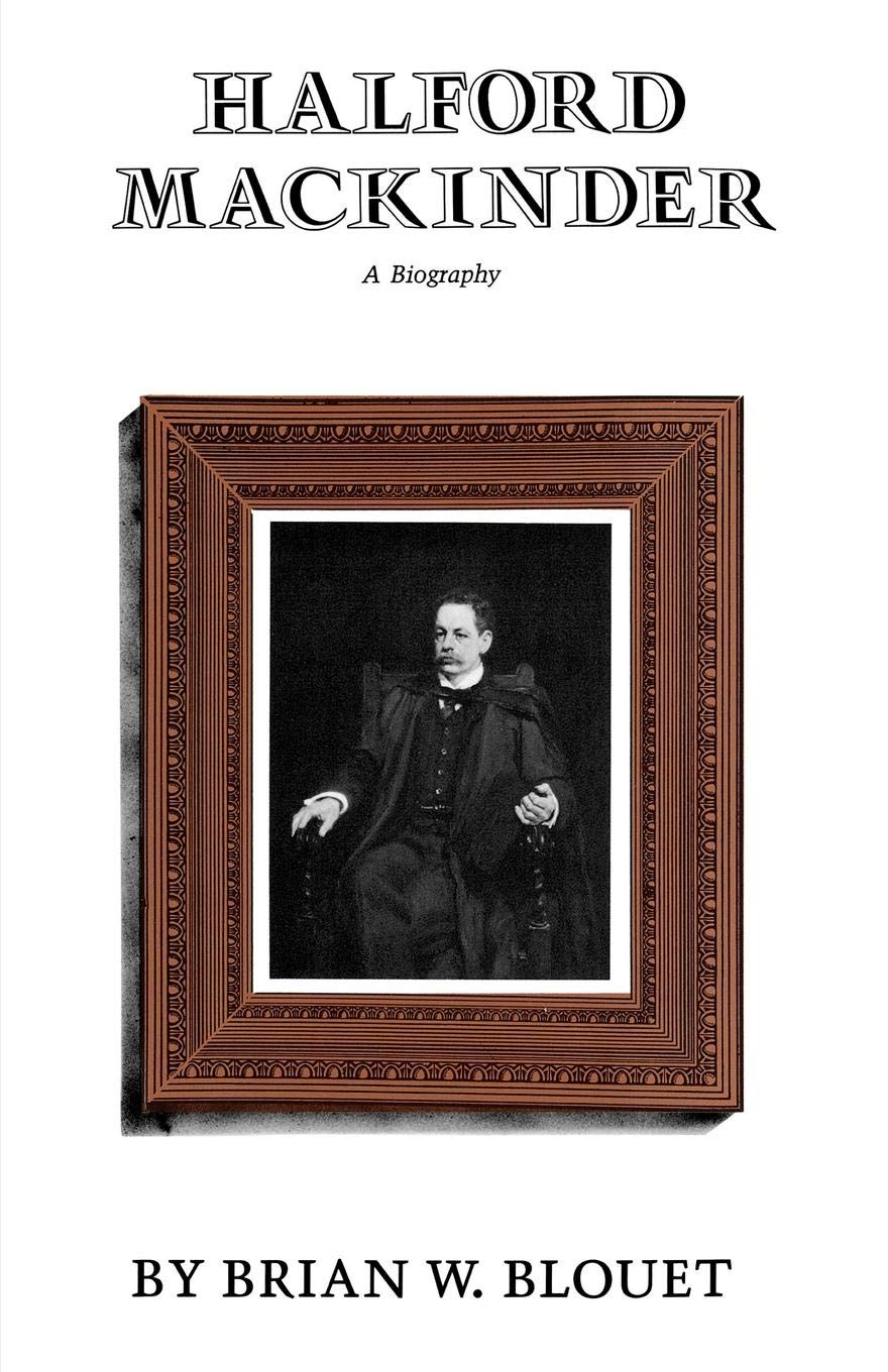
There is a
biography of Halford Mackinder written by Brian Blouet, which Carl refers to, and which I shall try to get access to.
I also found this related article on Mackinder on the
Perspectives on Africa blog.
It's written by Simone Pelizza of the University of Leeds
A few extracts...
"...he also became famous in his era for the first successful ascent of Mount Kenya in 1899, when he reached the peak of this great African mountain after three months of dramatic efforts. Indeed, this achievement is still highly debated among biographers of the character, due to the obscure events surrounding its lucky conclusion."
and also, Mackinder and his travelling companions:
"...did not show any humanitarian concern in the fulfilling of their ambitious African project, sharing the crude racial prejudices of their time. In this sense, the expedition to Mount Kenya perfectly represent the spirit of European imperialism at the end of the nineteenth century, full of violence, greed, and psychological obsession. A toxic mixture well captured by Joseph Conrad in his great novel Heart of Darkness, published some years later as part of the wide international campaign against Belgian atrocities in the Congo.'
Mackinder also has a rare species of owl named after him:
Bubo capensis mackinderi - possibly the only GA President to have an owl named after him - unless you know different...
Also this article readable on JSTOR:
Blouet, Brian W. “The Imperial Vision of Halford Mackinder.” The Geographical Journal, vol. 170, no. 4, 2004, pp. 322–329. JSTOR, www.jstor.org/stable/3451461.
Update - June 2019
 A big addition to the post...
On the impact of 'On the Scope and Methods in Geography'
Drawn from Emily Hayes' PhD
Geographical projections: lantern-slides and the making of geographical knowledge at the Royal Geographical Society c.1885 – 1924
A big addition to the post...
On the impact of 'On the Scope and Methods in Geography'
Drawn from Emily Hayes' PhD
Geographical projections: lantern-slides and the making of geographical knowledge at the Royal Geographical Society c.1885 – 1924
Read more at https://ore.exeter.ac.uk/repository/handle/10871/23096#PSdvQPc7baSCXDiL.99
http://hdl.handle.net/10871/23096
Emily describes the lecture, and the impact that it had. It predates the GA.
Mackinder is described by Hudson as "one of the fathers of modern geography". Hayes describes it as a "multi-media lantern slide lecture performance".
Lantern slides were the keynote of their day.
Clements Markham said the lecture was...
"a brilliant production, most
suggestive, and calculated to establish geography’s place among the
sciences. I read it with great interest."
Additional references
Gilbert, The Right Honourable Sir Halford J. Mackinder, P. C., 1861-1947, 93;
Cosgrove, Geography and Vision, 125 and 133-34.
Hudson, The new geography and the new imperialism, 1870-1918, Antipode 9 (2),
(1972), 12-13; Stoddart, Geography and war, 87; Scargill, The RGS and the foundations of
geography at Oxford.
Update: late June 2019
While researching some other Presidents, I came across a Rex Walford article on the GA, and Mackinder in wartime. I haven't read the article yet, but I think it is going to provide a wealth of additional detail on this period of the GA, and the work of the Presidents.
Walford, Rex. “Mackinder, the GA in Wartime and the National Curriculum.” Geography, vol. 78, no. 2, 1993, pp. 117–123. JSTOR, www.jstor.org/stable/40572493.
Another update Late June 2019
Writing the blog post for Edmund William Gilbert in 1922, and came across reference to Mackinder's
Seven Lamps of Geography.
These need to be added in here, and I will do that shortly.
Update, early July 2019
The seven lamps are referred to in the article by V. W. Tidswell from 1990.
They are the areas which are mentioned in a paper by Gilbert (another GA President) in 1951 called 'The Seven Lamps of Geography'.
These are described by Tidswell as 'burning on today' as the attainment targets in the National Curriculum.
"The idea of the region was fundamental to all Mackinder's teaching. He was concerned with distributions in space and their inter-relationships, and aimed to answer the same questions as we pose today: Where? How? Why there? But not, where ought..."
Seven Lamps of Geography
The Region
The Homeland and the Empire
World Geography
The Unity of Geography
The Map
Applied Geography
The Philosophy of Geography
References
Coones, Paul. “The Centenary of the Mackinder Readership at Oxford.” The Geographical Journal, vol. 155, no. 1, 1989, pp. 13–23. JSTOR, www.jstor.org/stable/635377.
MACKINDER, H. J. “THE TEACHING OF GEOGRAPHY FROM AN IMPERIAL POINT OF VIEW, AND THE USE WHICH COULD AND SHOULD BE MADE OF VISUAL INSTRUCTION.” The Geographical Teacher, vol. 6, no. 2, 1911, pp. 79–86. JSTOR, www.jstor.org/stable/40554112.
Update
Additional image, found on Twitter.

Also found some details of the exhibition that Mackinder curated in London in 1932.
Also some BBC videos.
Orford, E. J. “THE 'TEACHING OF GEOGRAPHY' EXHIBITION.” Geography, vol. 17, no. 3, 1932, pp. 216–218. JSTOR, www.jstor.org/stable/40558338.

Update August 2019 - from Brotton's book.
Mackinder is also mentioned in "A History of the World in Twelve Maps" by Jerry Brotton (Penguin, 2012)
There is a chapter called 'Geopolitics' which mentions him, and also Colonel Sir Thomas Holdich, who was also President, at a time when they were linked with the RGS. Brotton says that Mackinder "would almost single-handedly both transform the study of geography in England, and create a whole new way of understanding and using the subject: geopolitics".
Brotton says that Mackinder recalled, at the age of 82, hearing news about Napoleon III. He was also caned at school "for drawing maps instead of writing Latin prose". His boyhood games apparently included "being King of an island on which 'civilised its usually backward inhabitants'."
He became the
President of the Oxford Union in 1883.
Brotton describes the travels in 1886-7 when Mackinder lectured on his "New Geography" apparently with the aim of 'gradually familiarising intelligent people throughout the country with the idea that geography consisted neither of lists of names nor of traveller's tales".
He also added some detail on Mackinder's lecture on Geography at the RGS in 1887 when he presented his ideas. He said 'a worthy Admiral, a member of Council, sat in the front row and kept muttering "Damn cheek" throughout the lecture, particularly when Mackinder suggested the RGS might close as tales of adventure grew fewer.
He concluded by saying, that geography might represent a study of the classics as "the common element in the culture of all men, a ground on which specialists could meet".
Sir Francis Galton, a council member was not sure about Mackinder's claim that geography was a science.
Mackinder's 'Presidential address' to the GA in 1895 according to Brotton, which is impossible of course, as he wasn't President.
It was called 'Modern Geography, German and English", explaining how our maps were ahead of the German, but with von Humboldt and Ritter, we were behind the Germans in other respects.
For Mackinder, "a map was not the territory it claimed to depict, but an interpretation of the geological, biological and anthropological elements which made up that territory".
When he climbed Mt. Kenya in 1899, he was invited by Colonel Sir Thomas Holdich to speak at the RGS.
Pivot of history:
https://en.wikipedia.org/wiki/The_Geographical_Pivot_of_History

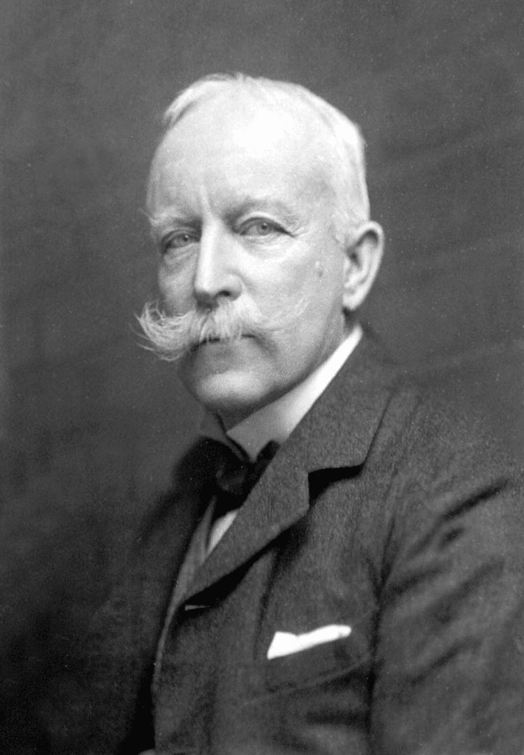
Image from the 1940s
Another of Mackinder's contributions was a slogan:
Who rules East Europe commands the Heartland
Who rules the Heartland commands the World Island
Who rules the World Island commands the World
Updated August 18th 2019

A BBC Radio 4 programme from today.
What can the ideas of two long-dead geopolitical thinkers tell us about relations between Russia, China and America today?
Documentary-maker Phil Tinline traces how, in the late 19th century, an American sea captain turned scholar, Alfred Thayer Mahan, drew on the historic successes of Britain’s Royal Navy to argue that sea power was a decisive force in world history, and that the rising United States should establish its own permanent naval forces.
But then a British geographer, Sir Halford Mackinder, spotted the revolutionary potential of the new Trans-Siberian Railway, and argued that land power, in the form of the Eurasian Heartland could now mobilise its resources to outdo British sea power.
Both men’s ideas have had profound influence on geopolitical thinking ever since. Today, as the post-war international order falters, Phil talks to leading scholars and strategists to discern what influence Mahan’s and Mackinder’s ideas are having on our new era of great power rivalry – between NATO and Russia in the Black and Baltic Seas, between Russia and China in the Eurasian heartland as the Belt and Road stretches westward, and between China and the USA, in the hotly-disputed waters of the South China Sea.
And he asks whether, in a globalised world, ends that were once pursued by military means are now being achieved through commerce, but in pursuit of the same hard geopolitical aims.
With contributions from: Professor James R. Holmes, Professor Charles Kupchan, Dr Nick Megoran, Professor Rana Mitter, Air Chief Marshal Sir Stuart Peach, Professor Angela Stent, Dr Dmitri Trenin
October 2019
A contribution in Darby's recollections of the period.

Darby, H. C. “Academic Geography in Britain: 1918-1946.” Transactions of the Institute of British Geographers, vol. 8, no. 1, 1983, pp. 14–26. JSTOR, www.jstor.org/stable/622271.
https://books.google.co.uk/books?id=UI7020CCNsoC&lpg=PA7&ots=NHbnZgpoRx&dq=the%20british%20isles%20ogilvie%201928&pg=PA6#v=onepage&q&f=false
the development of the REGION as a concept
Update: December 2019
https://journals.openedition.org/cybergeo/2966 - a reference in a journal by Hugh Clout
Within the context of the current Black Lives Matter movement and the emergence of the Black Geographers group, the GA is reassessing previous connections and involved with moves to decolonise the curriculum.
An article in 'Geography' by Gerry Kearns in Spring 2021 edition explores Mackinder's role in this, and some of his actions which were racist:
It was the 2nd article in a series.
To find out more about the series, check out the Uncomfortable Oxford webpage which describes a lecture that Kearns gave in Oxford, in what was called the Halford Mackinder Lecture Theatre.


 Updated August 2021


 Standing Committees were introduced to the Geographical Association in 1918.
 Last updated October 2025


 Last update, August 2023
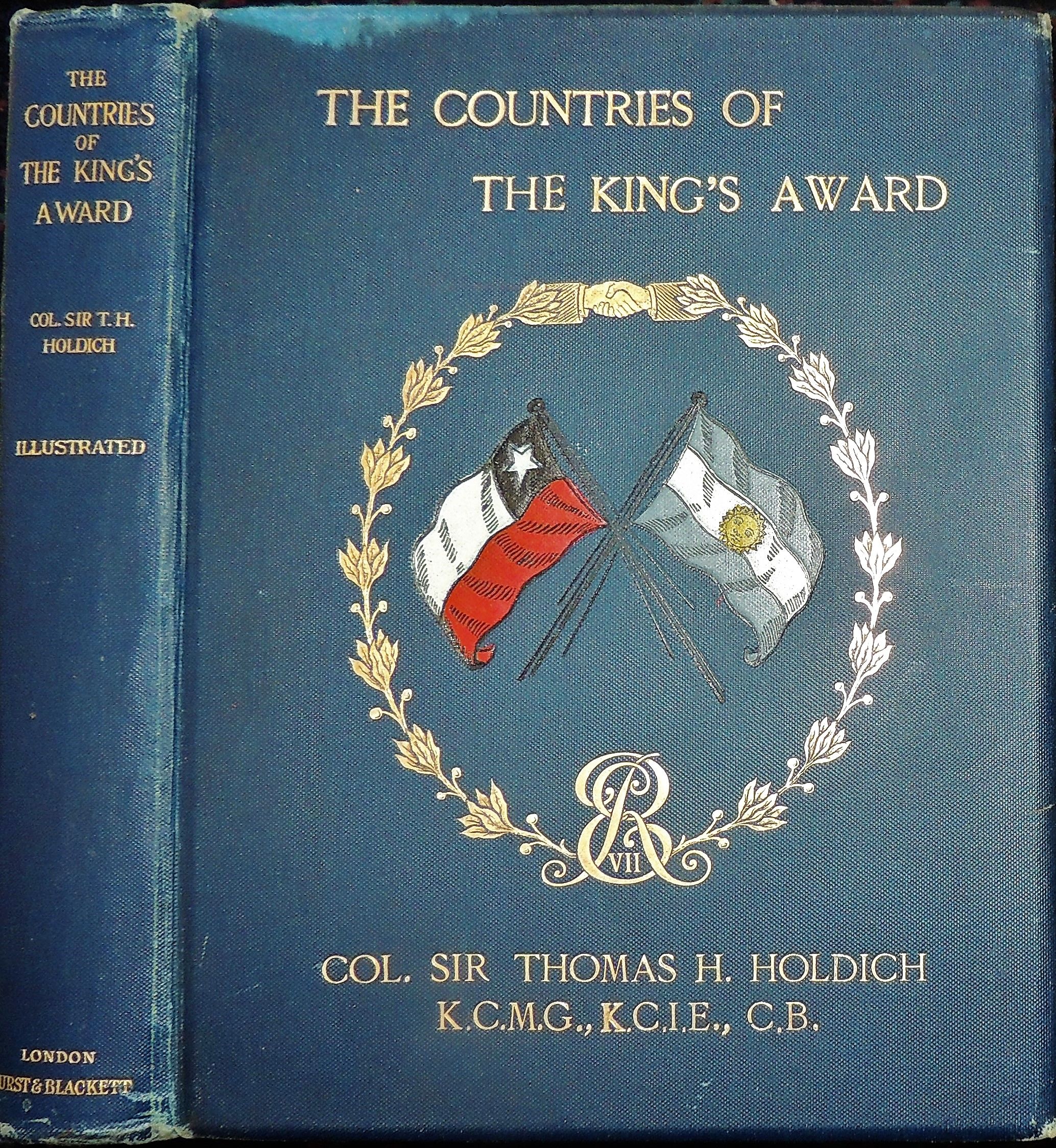 In retirement he wrote about Indian and Afghan geography and his own experiences.


 A big addition to the post...


